Ground Conductivity Meters
The EM38 Series: Industry's Most Trusted EM Tools
From precision agriculture to environmental site assessment, the EM38 series delivers unmatched subsurface data without disturbing the surface.
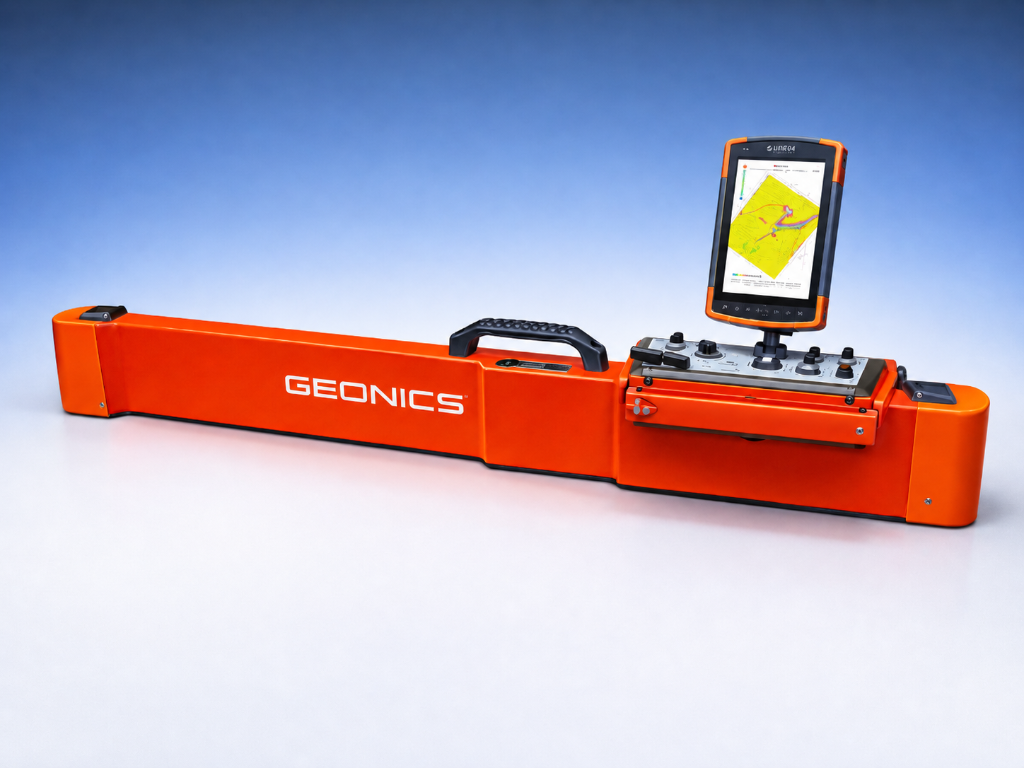
The Global Standard for Shallow Subsurface Mapping
The industry's most trusted electromagnetic induction tool for rapid, non-invasive characterization of the near-surface up to 1.5 meters deep. Simultaneously measures apparent conductivity and magnetic susceptibility at two distinct depths — no ground contact required.
- Dual depth exploration (0.5 m & 1.0 m coils)
- Integrated Bluetooth® to Mesa field tablet
- Enhanced temperature compensation — zero drift
- Operates from -40°C to +50°C
Depth
Up to 1.5 m
Frequency
14.5 kHz
Coils
2 receiver coils
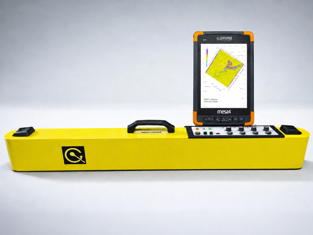
Next-Generation Four-Coil Profiling
Four receiver coils provide simultaneous conductivity & susceptibility at four distinct depths in a single pass — delivering a high-resolution profile of the soil column for complex environmental assessments.
- 4× depth resolution vs. MK2
- High-efficiency Mesa-compatible workflow
- Non-invasive — no ground contact
- Integrated GPS/GNSS georeferencing
Depth
Up to 1.5 m
Frequency
14.5 kHz
Coils
4 receiver coils
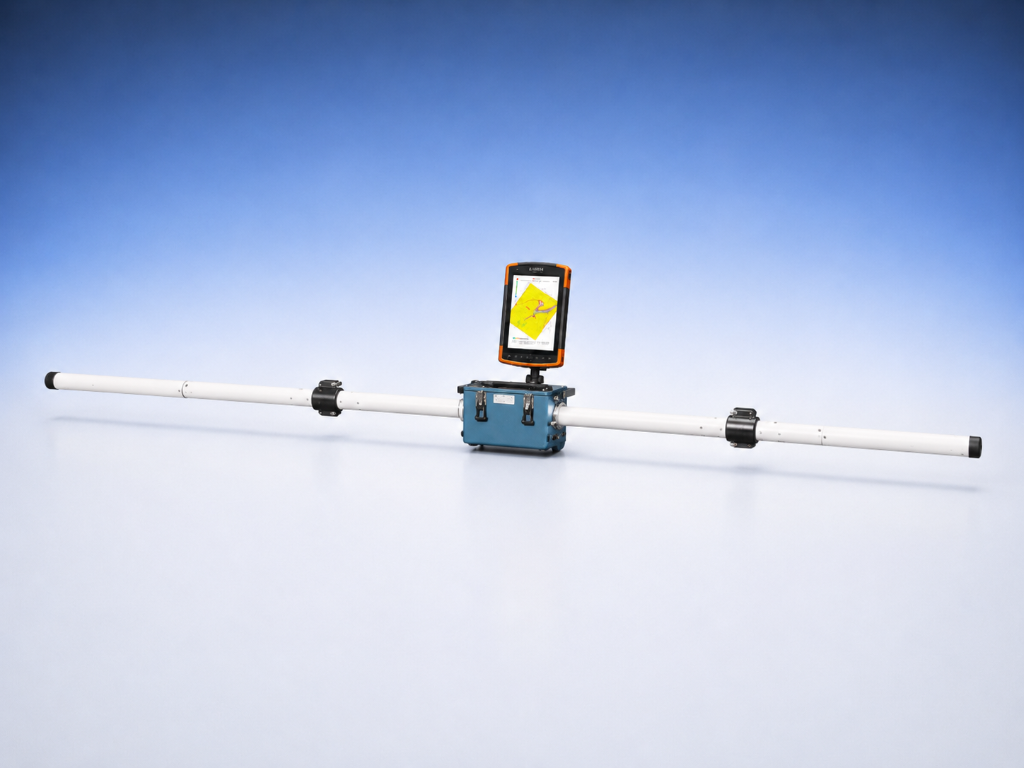
Wide-Area Terrain Conductivity Mapping to 6 m
A frequency-domain electromagnetic terrain conductivity meter available with a 2 m (short) or 3.66 m (12 ft, standard) fixed boom, providing a nominal exploration depth of ~3–6 m (vertical dipole) or ~1.5–3 m (horizontal dipole) — without electrodes or ground contact. Simultaneously measures apparent conductivity and magnetic susceptibility with an integrated data logger and real-time LCD survey display for in-field quality control.
- Available in 2 m or 3.66 m (12 ft) boom configurations
- Integrated data logger with real-time LCD survey map
- Automatic drift & tilt compensation
- Conductivity range 1–1000 mS/m, ±5% accuracy
Depth
Up to ~6 m
Frequency
9.8 kHz
Coils
Tx + 1 Rx
Data Acquisition
Seamless Field-to-Map Workflow
Geonics integrates our world-class EM sensors with the Mesa 3 and Mesa 4 field computers. Rugged, Windows-based platforms delivering high-resolution data logging with a full day of battery life.
With integrated high-sensitivity GNSS/GPS and support for external high-precision receivers such as the Geode, every data point is accurately georeferenced and instantly visualized in the field.
Bluetooth® Wireless Link
Real-time data transfer from EM instrument to Mesa tablet.
High-Resolution Logging
Up to 10 readings/sec with automatic GPS tagging.
Real-Time Visualization
Instantly view georeferenced conductivity maps in the field.
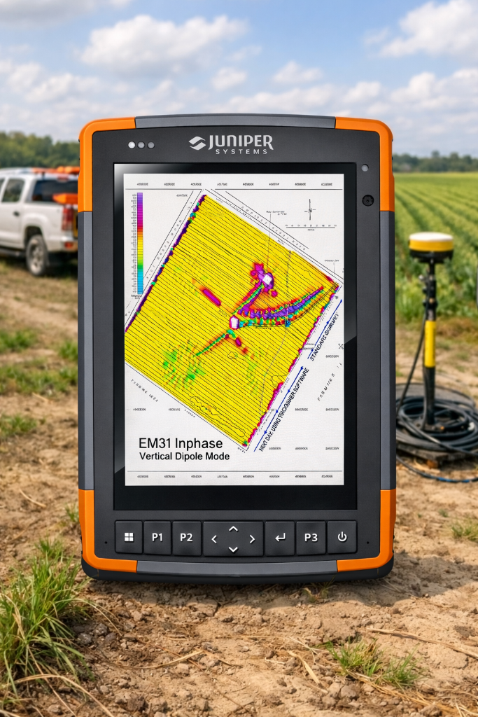
Featured
Mesa 4 Field Computer
Rugged · Windows-based · Full-day battery · GNSS integrated
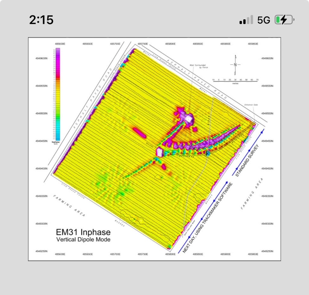
Online Post-Data Processing Software
Geonics is launching a cloud-based data processing platform — purpose-built for EM instrument data. Transform raw field readings into publication-quality conductivity maps from anywhere in the world, on any device.
Cloud-Based Processing
Upload raw EM data directly from your Mesa field tablet and process it instantly — no desktop software required.
Automated Corrections
Intelligent drift correction, noise filtering, and data quality checks applied automatically before you download results.
Georeferenced Outputs
Export ready-to-use conductivity maps in industry-standard formats compatible with GIS and mapping platforms.
How We Can Help
Purchase, Rent, or Service
Whether you need to own, rent, or maintain your electromagnetic equipment — we have the solution.
Applications
Trusted Across Industries

Precision Agriculture
Soil salinity mapping, moisture content profiling, clay distribution analysis, and irrigation optimization.

Archaeology
Non-invasive site investigation, buried foundation location, and cultural heritage preservation surveys.

Environmental
Groundwater contamination mapping, saline intrusion monitoring, and environmental site assessment.

Geotechnical
Site characterization, buried utility detection, UXO surveys, and subsurface structural analysis.
Ready to Get Started?
Contact our team for a personalized quote, rental availability, or to discuss your project requirements.